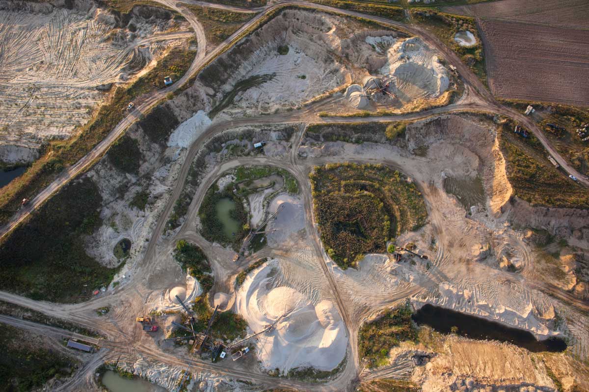
MaxelS uses fixed-wing and multi-rotor drones to generate high resolution and accurate Orthomossaic maps, DSM, DTM, Contour maps, catering to a wide range of industries and applications. Our expertise is particularly notable in conducting drone surveys of Mines as per standards of IBM.
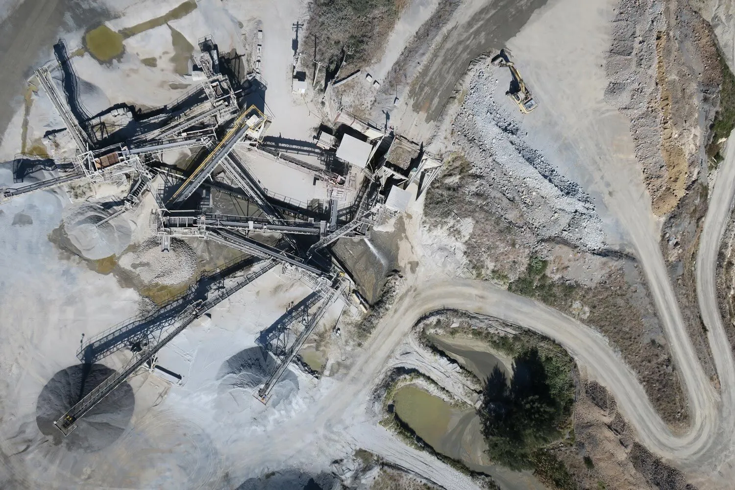
Inspection And Analysis
MaxelS excels in the Inspection and Monitoring of stockpiles and quarries, providing services both regularly and as needed. Our expertise includes precise volume calculations of materials like Coal, Ore, Sand, Gravel, Waste & Scrap Dump, etc. in areas such as Mining Sites, Stock Management, Construction sites and factories, using LiDAR from different angles, we deliver accurate and reliable assessments.
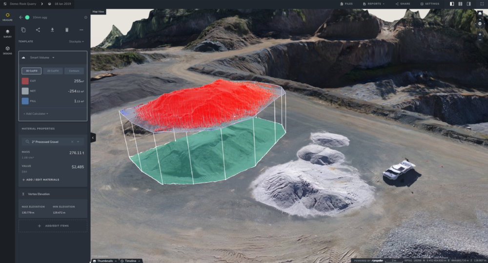
Data Processing
MaxelS offers assistance in drone data processing, to generate outputs such as Orthomossaic maps, DSM, DTM, Contour maps, 3D model, point cloud processing and GIS.

Surveillance & Project Monitoring
MaxelS uses drone surveillance by integrating it into a comprehensive project management system, comprised of different levels of security: perimeter fencing, a video surveillance system coupled with an alarm system, on-site guarding or access control services by security officers, and sometimes remote video monitoring. Additionally, MaxelS uses drone surveys and geotagged videos for progress monitoring of multiple large infrastructure projects, such as railways, roads & highways, industrial corporations, and more.

