Welcome to Integrated-Geo Services! We specialize in a comprehensive range of geological, geospatial, satellite-based, geophysical, and geotechnical surveys. Explore our services below to see how we can assist you in your projects.

Understanding the Earth’s crust is fundamental to various applications. Our geological surveys provide detailed insights into the structure, composition, and history of the Earth’s layers.
Key Services
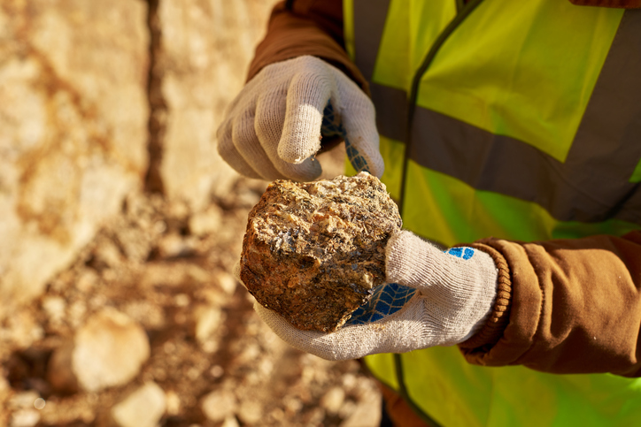
Field Mapping: Detailed mapping of rock formations, faults, and mineral deposits through field observations and sampling.
Stratigraphy: Study of rock layers to interpret geological history and formation processes.
Applications: Crucial for natural resource exploration, environmental assessments, and hazard identification.
Remote Sensing: Utilizes aerial photographs and satellite imagery to complement field data.
Data Integration: Combines multiple data sources to create comprehensive geological maps and models.

Geospatial Survey
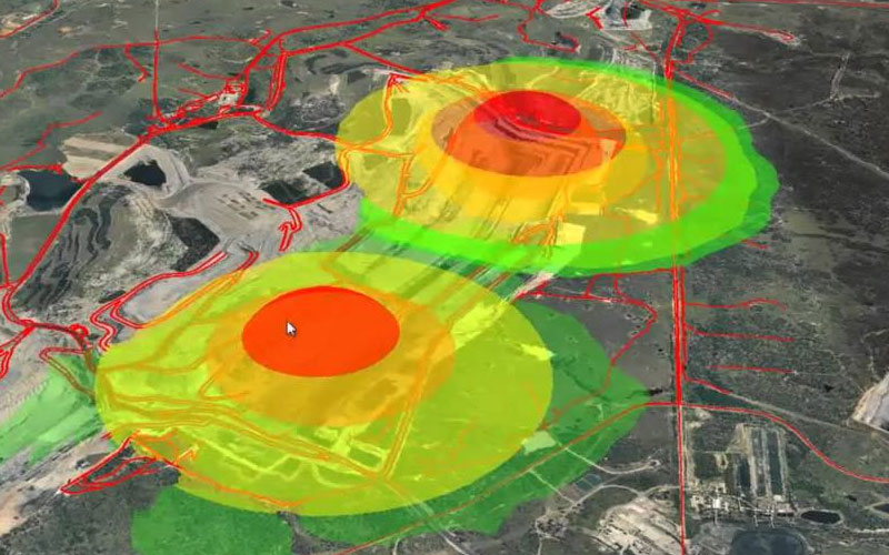
We leverage advanced technologies to collect and analyze spatial data, creating detailed maps and models of the Earth’s surface.
Key Services
Technologies: Utilizes GPS, LiDAR, photogrammetry, and UAVs (drones) for high-precision data collection.
Mapping: Produces accurate maps and 3D models for urban planning, infrastructure development, and environmental monitoring.
Data Analysis: Uses GIS software to analyze spatial relationships, patterns, and trends.
Applications: Supports agriculture, forestry, transportation, and disaster management.
Real-time Data: Enables real-time data collection and processing for up-to-date information in dynamic environments.

Satellite-Based Survey
Our satellite-based surveys offer extensive coverage and high-resolution data collection, ideal for remote and large-scale projects.
Key Services
Global Coverage: Extensive coverage suitable for remote or inaccessible areas.
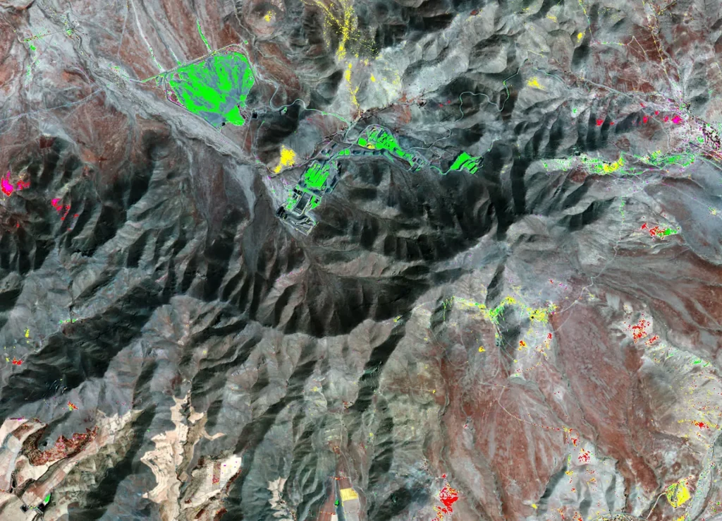
Remote Sensing: Utilizes optical, radar, and thermal sensors to capture comprehensive data.
Applications: Useful in environmental monitoring, disaster management, agriculture, and urban planning.
High Resolution: High-resolution imagery for detailed surface feature analysis.
Temporal Analysis: Monitors changes over time, such as deforestation, urban expansion, and climate change effects.

Geophysical Survey
We use non-invasive methods to measure the physical properties of the subsurface, providing valuable data for various applications.
Key Services
Techniques: Employs seismic reflection, magnetic, electrical resistivity, and ground-penetrating radar (GPR).
Applications: Useful in mineral exploration, environmental studies, archaeological investigations, and infrastructure planning.
Data Acquisition: Collects subsurface data on soil composition, rock type, and groundwater presence.
Advantages: Detailed and accurate subsurface information without extensive drilling, reducing time and costs.
Resolution: Capable of detecting small-scale features and variations within the subsurface.

Geotechnical Survey
Our geotechnical surveys analyze soil and rock properties to inform engineering and construction projects, ensuring safe and efficient designs.
Key Services
Site Investigation: Borehole drilling, soil sampling, and in-situ testing to determine ground conditions.
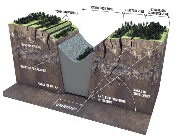
Engineering Analysis: Evaluates soil stability, bearing capacity, and potential geohazards like landslides or earthquakes.
Applications: Essential for foundation design, slope stability analysis, and assessing site suitability for construction.
Laboratory Testing: Detailed lab analysis of soil and rock samples to determine properties like shear strength and compressibility.
Risk Mitigation: Identifies potential issues early, ensuring safe and cost-effective project designs.
Explore our services to see how Integrated-Geo Services can support your next project. For inquiries or to request a quote, please contact us.


